Oak Island Team May Have Found a Hidden Clue Changing the Course of the Legendary Treasure Hunt
For decades, Oak Island has captured imaginations with its promise of untold treasures buried somewhere beneath the Nova Scotia soil. Historians, treasure hunters, and television crews have scoured its landscape for artifacts, hidden chambers, and anything that might unlock one of history’s most enduring mysteries. Yet, recent findings by Rick Lagina, Marty Lagina, and their team suggest that a crucial clue may have been overlooked from the very beginning, potentially rewriting everything known about the search.
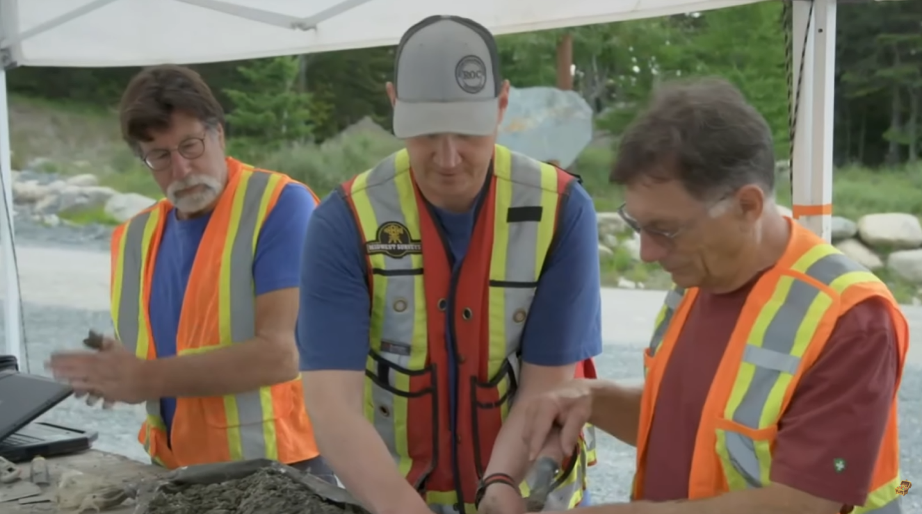
Central to this revelation is a pattern emerging from centuries-old maps. Aaron Helton, a researcher brought in to interpret these documents, identified a system of anchor stones strategically placed along the northern and southern shorelines of Oak Island. Surveyor Steve Guptill carefully examined one boulder on Boulderless Beach, noticing markings that resembled either a cross, the letter T, or perhaps even the shape of a ship. Intriguingly, this stone mirrored another boulder previously discovered on the southern side, suggesting a deliberate placement by whoever designed the landscape.
The geometric alignment of these stones hints at a sophisticated navigational system. Lines plotted between several markers converge almost precisely on a steel shaft excavated earlier by the team, indicating that the original architects may have designed an island-wide coordinate system to conceal or protect something of extraordinary value. “It feels like the entire terrain is connected,” noted Marty Lagina. The implications are significant: instead of random clues scattered across Oak Island, the entire landscape may have been a carefully engineered map.

Adding to the intrigue is a massive 250-pound boulder known as the Boat Stone, located in Westford, Massachusetts. Researchers like Robert Marcus argue that this stone is part of a navigational system connected to Oak Island, potentially created by Scottish noble Henry Sinclair in the late 14th century. Its carvings depict a ship, an arrow, and numbers that could have guided early explorers along a coastal route to the island. The similarity between markings on the Boat Stone and the anchor stones discovered by the Oak Island team lends credence to the theory of an elaborate transatlantic network of clues.
The investigation has extended beyond the familiar Money Pit. Dave Blankenship, while searching for game in a western part of the island, noticed an unusual depression in the ground that appeared untouched for generations. Overlaying a hand-drawn map from 1179, provided by researcher Zena Halpern, revealed that this depression aligns almost perfectly with a location marked as the “hatch” – a potential entrance to hidden underground chambers. The map also identified other landmarks that correspond to known features such as the swamp, marsh, and dam, indicating that these ancient documents may have been intended as practical navigation guides rather than simple illustrations.

The historical context deepens the mystery. Some researchers believe the Knights Templar may have been involved in establishing a secure location to safeguard sacred relics, predating known European activity in the region. Artifacts uncovered on the island, including lead crosses, ancient coins, and structural remains, hint at a sophisticated European presence long before Columbus. If the Templars or their associates were involved, the careful placement of boulders, carved symbols, and the creation of a coded system make sense: they may have designed Oak Island as both a fortress and a cryptic map, protecting treasures for generations.
Using modern technology, the team has validated these alignments. Satellite imagery overlaid with the ancient maps shows striking consistency between historic illustrations and present-day geography. The Money Pit, the swamp, and even minor terrain features match the centuries-old drawings with remarkable precision. Rick and Marty Lagina, alongside professional archaeologists, have inspected the sites firsthand, confirming that these are not mere coincidences but deliberate placements. Each anchor stone, depression, and carved symbol could represent a coordinate in a larger geometric puzzle awaiting solution.


The implications are profound. If the maps, stones, and carved markers are indeed part of an intentionally designed system, the long-sought Oak Island treasure may not simply be underground riches but a complex network of clues waiting to be deciphered. For the first time, vague legends are being translated into actionable targets. Land that once seemed arbitrary now holds purpose, potentially guiding the team to a central vault or hidden stronghold that could contain artifacts of global historical significance.
As research continues, every new discovery fuels speculation and excitement. From anchor stones on isolated beaches to ancient drawings hinting at Templar activity, the Oak Island team may be on the verge of finally understanding the island’s cryptic layout. The interplay between historical documents, modern technology, and meticulous fieldwork underscores the scale and sophistication of this centuries-old mystery. For treasure hunters and historians alike, Oak Island remains a place where history, legend, and geometry intersect in unexpected ways.
With each passing season, the search has evolved from a series of hopeful digs to a methodical exploration guided by centuries of encoded information. As the team prepares for the next phase, the question remains: will these clues finally lead to the legendary treasure, hidden in plain sight for over 200 years? If the anchor stones and the mysterious hatch are any indication, the answer may be closer than ever.