The search on Oak Island has taken another intriguing turn after a series of discoveries appeared to connect the island’s swamp, shoreline features and a long-debated medieval map into one larger theory.
For more than two centuries, Oak Island has drawn treasure hunters, historians and sceptics into a mystery that refuses to settle. Now, Rick and Marty Lagina believe several recent clues may be pointing toward a more organised operation than a simple buried treasure story.
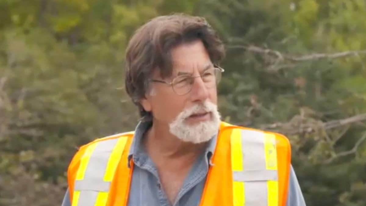
The latest developments begin away from the island, near Overton in Nova Scotia, where researcher Terry Deveau led Rick, Marty, Craig Tester and Dave Blankenship to a granite boulder he believes was deliberately shaped. At first glance, the stone could be dismissed as a natural feature. But from the right angle, its lines appear to form a face looking out toward the sea.
Deveau argued that the boulder had been worked by hand and carefully positioned using small stone shims. The team noted differences in the surface texture, with some areas appearing naturally weathered and others looking as though they had been altered. For Rick and Marty, the stone could fit into a broader pattern of coastal markers already identified in Nova Scotia, including carvings near Peggy’s Cove that have previously raised questions about possible European links.
Back on Oak Island, the focus shifted to the swamp, where Gary Drayton and Peter Fornetti uncovered a wooden structure in the southeast corner. At first, the arrangement of timbers and iron fasteners led them to consider whether it might be part of a shaft. But archaeologist Laird Niven offered a different interpretation: the structure looked more like a slipway.
A slipway would have allowed boats to come ashore and unload cargo. That possibility matters because the feature sits in an area that may once have been shoreline before the swamp took its current form. If confirmed, it could support the idea that heavy material was brought onto the island and moved inland toward higher ground.
The discovery also appeared to line up with earlier ground-penetrating radar work by Dr. Ian Spooner, which had suggested a buried feature in the same area. For the team, that connection was important. The radar had indicated something below the surface, and the excavation appeared to reveal a physical structure where the data suggested it might be.
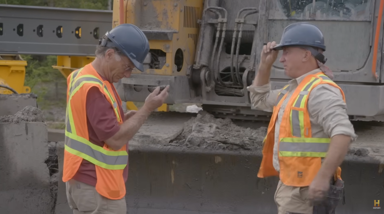
Another notable find followed when Gary returned to the eastern edge of the swamp with David Fornetti. In a trench opened by the archaeology team, they recovered a small iron caster wheel. Gary suggested it may have come from a small cart, possibly one used in a tunnel or confined underground space. The object was bagged for further analysis, including metallurgical testing.
The wheel added another layer to the theory that this part of the island may have hosted more than one activity. Nearby, archaeologist Miriam Amirault was examining what may be the remains of an old cellar or building footprint. If the wheel, the cellar feature and the slipway belong to the same period, they could suggest a coordinated worksite rather than isolated finds.
The team also continued examining a stone road in the swamp. Dr. Aaron Taylor described it as a deliberately laid pathway running from the lower swamp area toward the uplands. Beneath some of the stones, the team identified wood that may have served as cribbing to stop the road sinking into soft ground.
Then came another puzzling clue: pieces of coal or charcoal scattered among the stones. Rick noted that the known use of coal in volume on Oak Island is generally linked to later search activity from around 1860 onward. If the road predates that era, the presence of coal raises difficult questions. Was it linked to a burn event? Could it connect to older theories about a vessel being burned and sunk in the area that became the swamp?
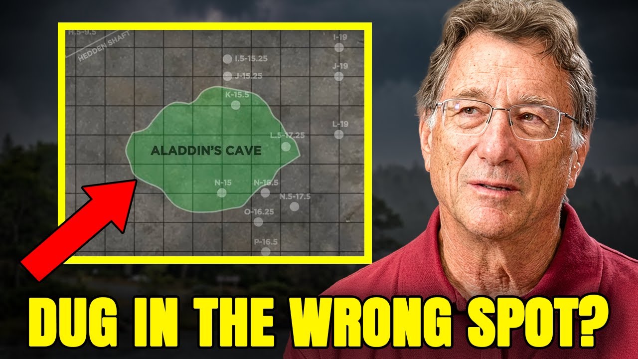
In the War Room, another thread emerged through mechanical engineer Matt Sant’s review of a medieval-style map associated with the late researcher Zena Halpern. The map, dated 1347, has long been debated by the Oak Island team. Sant argued that earlier translations may have misread a key label and its leader line. His corrected interpretation pointed toward Lot 4, an area of the island that has not received the same level of investigation as the Money Pit zone.
For Rick and Marty, the possibility is significant. If even one feature on the map can be confirmed on the ground, the entire document may need to be reassessed. Lot 4 could become a new priority, with Billy Gerhardt expected to help prepare the area for survey work.
Taken together, the latest finds do not provide a simple answer. Instead, they suggest a more complicated picture: a possible coastal marker system, a slipway in the swamp, a stone road, a caster wheel, charcoal deposits and a disputed medieval map that may point to a fresh target.
As Rick has often acknowledged, Oak Island rarely gives answers without creating new questions. But this time, the questions appear to be converging around one idea: the island may have been the site of a carefully planned operation involving shoreline access, transport routes and underground work.
Whether that operation was connected to treasure, military activity, early settlement or something else remains unproven. The next step is clear: test the wood, iron and charcoal, survey Lot 4, and see whether the evidence lines up in time.
For the Oak Island team, the mystery has not ended. It may simply have moved to a new part of the island.